
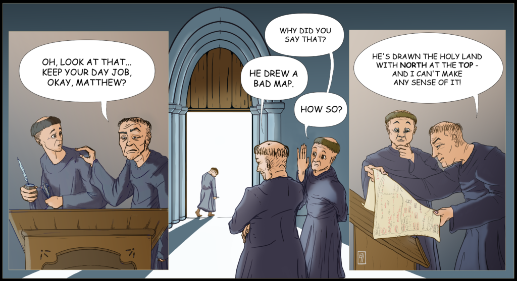
Matthew Paris was an English Benedictine monk (d. 1259) who chronicled, illuminated, and drew maps in several manuscripts produced in St. Albans Abbey of Hertfordshire. While many know him for his various chronicles of English saints, including St. Edmund and St. Thomas, we at Fordham especially know him for his cartography. Of the several maps we know he created, the Oxford map is one of his most unique. Unlike most of his contemporaries, Matthew pictured the Holy land from a birds-eye-view, conceptualized landmarks and spaces according to distance, and (as our comic shows) oriented the map with North at the top. While it is likely that this arrangement was not unheard of, we still wonder how those around him may have reacted to his creation!
For more information and exploration on Matthew Oxford map, check out our Oxford Outremer Map project on our digital projects website.
This is the fourth post of Medieval A-musings, the official comic strip of Fordham’s Center for Medieval Studies! Stay tuned for posts and follow us at our Instagram.